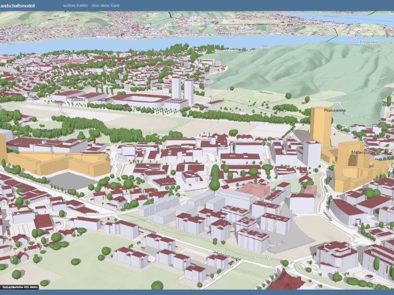
Lucerne 3D landscape model receives international award
Lucerne - The canton of Lucerne’s geoinformation division has received an award from Esri, a provider of geographic information systems. Lucerne’s 3D landscape system was recognized with the Special Achievement in GIS Award.
The geoinformation division for the canton of Lucerne has received an international award. According to a press release issued by the State Chancellory of Lucerne, the division’s 3D landscape model was honored with the Special Achievement in GIS Award from geoinformation systems (GIS) provider Esri. The “highly precise” model gives “a realistic and three-dimensional impression of settlements and landscape in the canton of Lucerne”.
Lucerne’s geoinformation division is one of Esri’s first government clients in Switzerland. The canton uses tools such as the ArcGIS mapping and analytics software produced by Esri, a global company headquartered in southern California. The geoinformation division, which is part of the Department of Construction, the Environment and the Economy (Bau-, Umwelt- und Wirtschaftsdepartement), is led by Clemens Oberholzer and Mario Schaffhauser and is responsible for collecting, processing and managing spatial data in the canton of Lucerne. The State Chancellory writes that this international award is “an important recognition” for the division and its 32 employees.

